Why Every Tucson-Area Listing Deserves an FAA-Licensed Drone Photographer (& Why Your E&O Policy Won't Save You If It Doesn't)
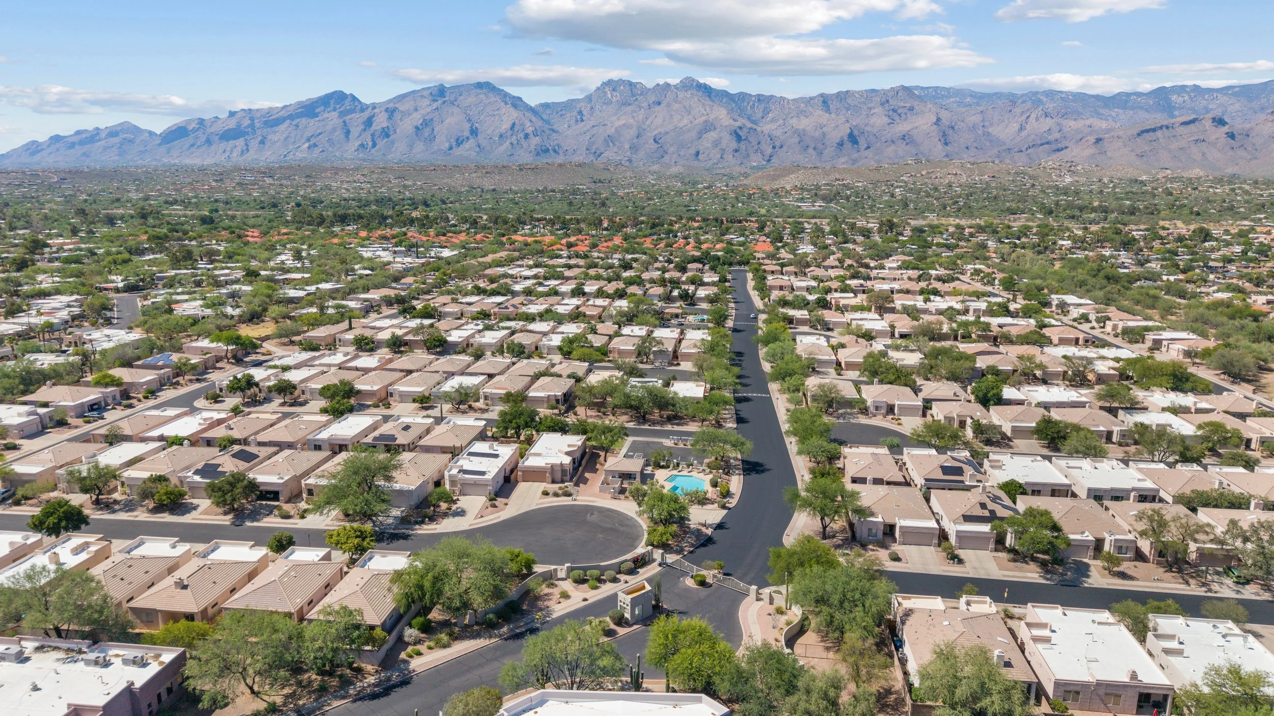
The Gated Community of Rancho Esperero near Udall Park
Few things sell a Southern Arizona listing like a sweeping aerial shot of a backyard backed by the Santa Catalina Mountains, or a hilltop home in Corona de Tucson with the Rincons glowing at sunset. Drone photography has become one of the most powerful tools in a listing's marketing arsenal. Plus, the data backs it up.
But there's a side of drone photography that doesn't show up in the final image: who's flying it, and whether they're legally allowed to.
The Numbers Don't Lie: Drone Photography Sells Homes
If you've been on the fence about adding aerial photos to your listings, the research makes a strong case. Drone adoption among top-producing agents is now mainstream — about 80% of active listing agents use drone photography and videography to market their listings, and listings that use drone photography sell, on average, 68% faster than those without.
For a Tucson Valley listing, that's not just a statistic. It's the difference between a buyer scrolling past your listing and a buyer stopping to picture themselves on that patio, looking out at the Tucson Mountains as the sun sets.
Why "Just Anyone with a Drone" Is a Risk You Don't Want to Take
Here's what most agents don't realize: flying a drone to market a property — even your own listing — is considered a commercial operation by the FAA. That means the pilot must hold an FAA Part 107 Remote Pilot Certificate. There's no exception for "just a quick shot" or "I'm only doing this once."
This isn't a gray area. The FAA draws its line based on purpose and payment, not the size or cost of the drone — if any part of the flight generates money, supports a business, or is used to market a property, it's commercial.
And the consequences aren't just theoretical. Reports indicate the FAA can fine an unlicensed drone operator up to $1,100 per flight for commercial use — and fine the person or business who hired that unlicensed operator up to $11,000. That means one uninsured, unlicensed flight could result in penalties to two different parties at the same time. Beyond these civil penalties, the FAA has also pursued additional civil fines in cases involving safety violations or restricted airspace — so the financial exposure can extend well beyond the initial fine.
"But My E&O Policy Covers Me, Right?"
This is the part that catches agents off guard. Errors & Omissions insurance is built to protect you from claims related to your professional real estate services — not aviation incidents.
A standard E&O policy will likely not cover a drone accident that strikes a person or causes more than $500 in damage. If an unlicensed pilot's drone crashes into a car in the driveway, drifts into a neighbor's yard, or causes injury during a shoot, your E&O policy isn't designed to step in — and the FAA penalties for the violation itself aren't something any insurance policy covers, since violations of Part 107 are treated as civil and potentially criminal matters, not something insurance addresses.
In other words: the "savings" of using an unlicensed pilot can evaporate fast, and the liability doesn't fall on the photographer alone — it follows the agent who hired them, too.
Tucson's Airspace Makes This Even More Important
Southern Arizona isn't simple airspace. Our valley sits in the shadow of some of the busiest controlled and restricted airspace in the state:
Tucson International Airport sits under Class C airspace covering much of the metro area
Davis-Monthan Air Force Base maintains restricted airspace on Tucson's southeast side
Marana Regional Airport and Ryan Airfield add additional flight restrictions on the valley's west and northwest sides
Arizona's controlled airspace centers around Tucson International (Class C), and military facilities create large restricted zones across the southern half of the state. A licensed Part 107 pilot knows how to check airspace authorization (LAANC), understands altitude restrictions near these zones, and knows which neighborhoods — even ones with stunning mountain views — require extra coordination before a drone ever takes off.
This isn't something a hobbyist with a DJI drone and good intentions is equipped to navigate. It's also exactly why Clique Visual Marketing operates as fully FAA Part 107-licensed pilots, carrying aerial liability insurance up to $500,000 in addition to our $1,000,000 general liability coverage — so every flight over every Tucson Valley listing is legal, insured, and accounted for.
When Aerial Photos Make the Biggest Difference
Not every listing needs a drone shot — but in the Tucson Valley, more do than you might think. Aerial photography is especially powerful when a property offers:
Mountain views in any direction. Whether it's the Santa Catalinas to the north, the Rincons to the east, the Tucson Mountains to the west, or the Santa Ritas to the south near Green Valley and Sahuarita, an aerial shot captures the full backdrop that ground-level photos simply can't.
Larger lots or acreage. Properties in Vail, Corona de Tucson, or the outskirts of Marana and Oracle often have lot sizes and layouts that only make sense from above — horse properties, RV access, separate guest casitas, or expansive desert landscaping.
Pools, courtyards, and outdoor living spaces. An aerial angle shows how a backyard connects to the home and the surrounding desert, which is a major selling point across Oro Valley, Catalina Foothills, and Dove Mountain.
Proximity to amenities. Golf courses in SaddleBrooke and SaddleBrooke Ranch, hiking trailheads near the Catalina Foothills, or walkability to shopping in Sahuarita — aerial shots can tell that story in a single frame.
New construction and pre-sale marketing. Builders and agents working in growth corridors like Marana and Dove Mountain benefit from aerial shots that show a home's position relative to future development, mountain views, and surrounding terrain.
The Bottom Line
Aerial photography isn't just a "nice extra" anymore — it's a tool that 80% of top agents are already using, and one that's been shown to help listings sell 68% faster. But the value only holds up if the flight itself is legal, insured, and handled by someone who understands both the camera and the airspace above your listing.
When you're ready to add aerial photography to your next Tucson Valley listing — whether it's a Catalina Foothills estate with Santa Catalina views or new construction in Dove Mountain with the Tortolitas as a backdrop — CVM Real Estate Media is fully licensed, fully insured, and ready to fly.
Joe & Stephanie Brown | CVM Real Estate Media | (520) 461-0631 | www.cvmre.com
This post is for general informational purposes and is not legal advice. For specific questions about FAA regulations or insurance coverage, consult the FAA directly or your insurance provider.